")


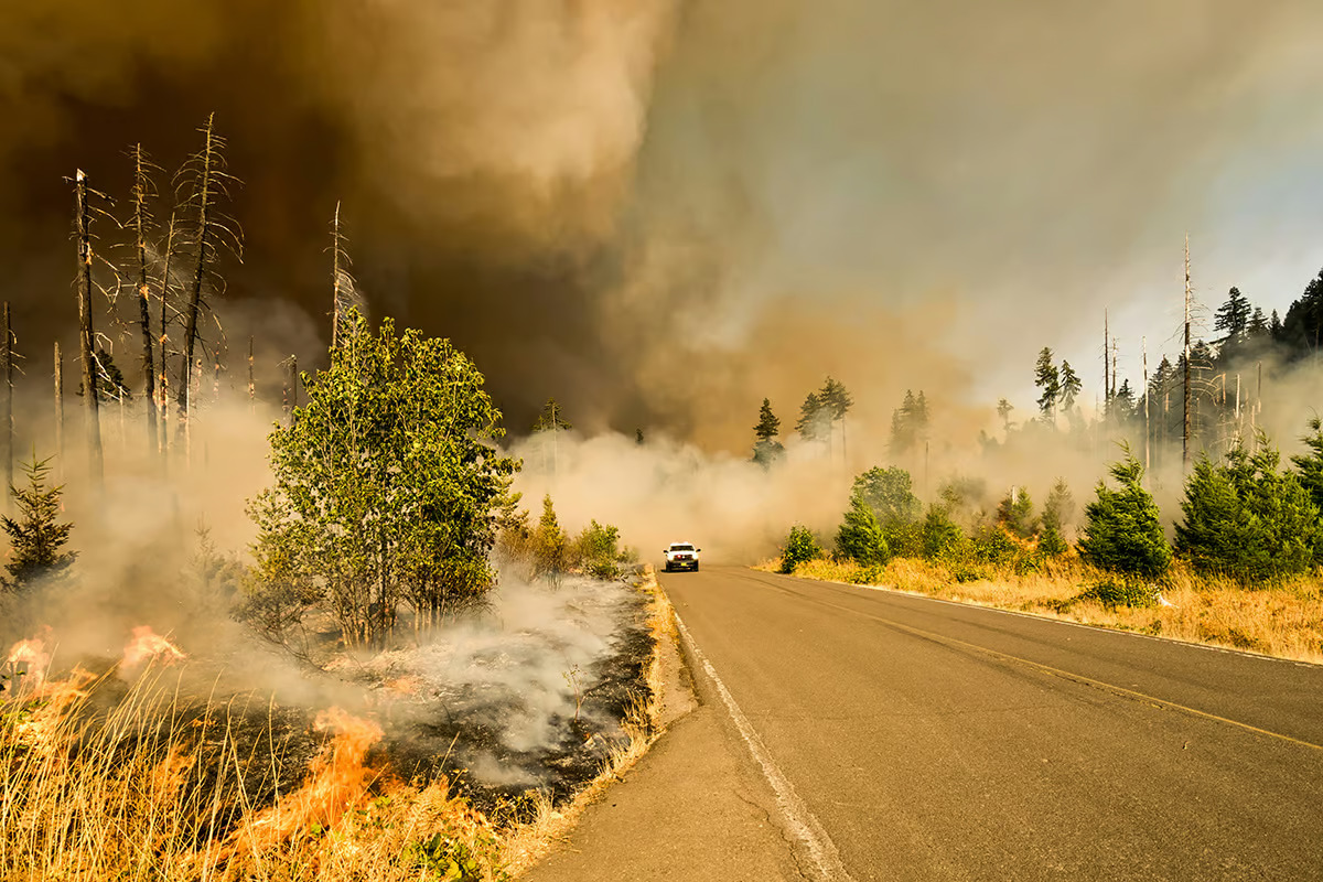 Wildfires can erupt faster than current systems can detect them – and do immense damage if they’re not tackled soon after they start. Marcus Kauffman / Unsplash –View 3 Images – Abhimanyu Ghoshal
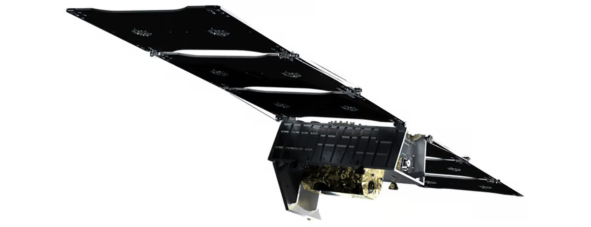
The FireSat constellation, which will consist of more than 50 satellites when it goes live, is the first of its kind that’s purpose-built to detect and track fires. It’s an initiative launched by nonprofit Earth Fire Alliance, which includes Google and Silicon Valley-based space services startup Muon Space, among others.
According to Google, current satellite systems rely on low-resolution imagery and cover a particular area only once every 12 hours to spot significantly large wildfires spanning a couple of acres. FireSat, on the other hand, will be able to detect wildfires as small as 270 sq ft (25 sq m) – the size of a classroom – and deliver high-resolution visual updates every 20 minutes.
The FireSat project has only been in the works for less than a year and a half. The satellites are fitted with custom six-band multispectral infrared cameras, designed to capture imagery suitable for machine learning algorithms to accurately identify wildfires – differentiating them from misleading objects like smokestacks.
These algorithms look at an image from a particular location, and compare it with the last 1,000 times it was captured by the satellite’s camera to determine if what it’s seeing is indeed a wildfire. AI technology in the FireSat system also helps predict how a fire might spread; that can help firefighters make better decisions about how to control the flames safely and effectively.
–
–
This could go a long way towards preventing the immense destruction of forest habitats and urban areas, and the displacement of residents caused by wildfires each year. For reference, the deadly wildfires that raged across Los Angeles in January were estimated to have caused more than $250 billion in damages.
–
[To read the balance of this very import, and timely article, please visit: https://newatlas.com/environment/google-firesat-satellite-wildfires-orbit/]
–
Source: The Keyword (Google) View gallery – 3 images
–
Tags

Most Viewed