")


 Scientists have demonstrated a proof-of-concept for a new navigation system that can work underground and underwater by tracking particles from cosmic rays. Depositphotos
–
Michael Irving
GPS uses a network of a few dozen satellites in precise orbits around Earth, and receivers in devices like phones are constantly listening out for signals from those satellites. The devices can work out how far they are from any detected GPS satellite, and when they pick up signals from at least four of them, the device can determine its relative position on the ground to within a few meters.
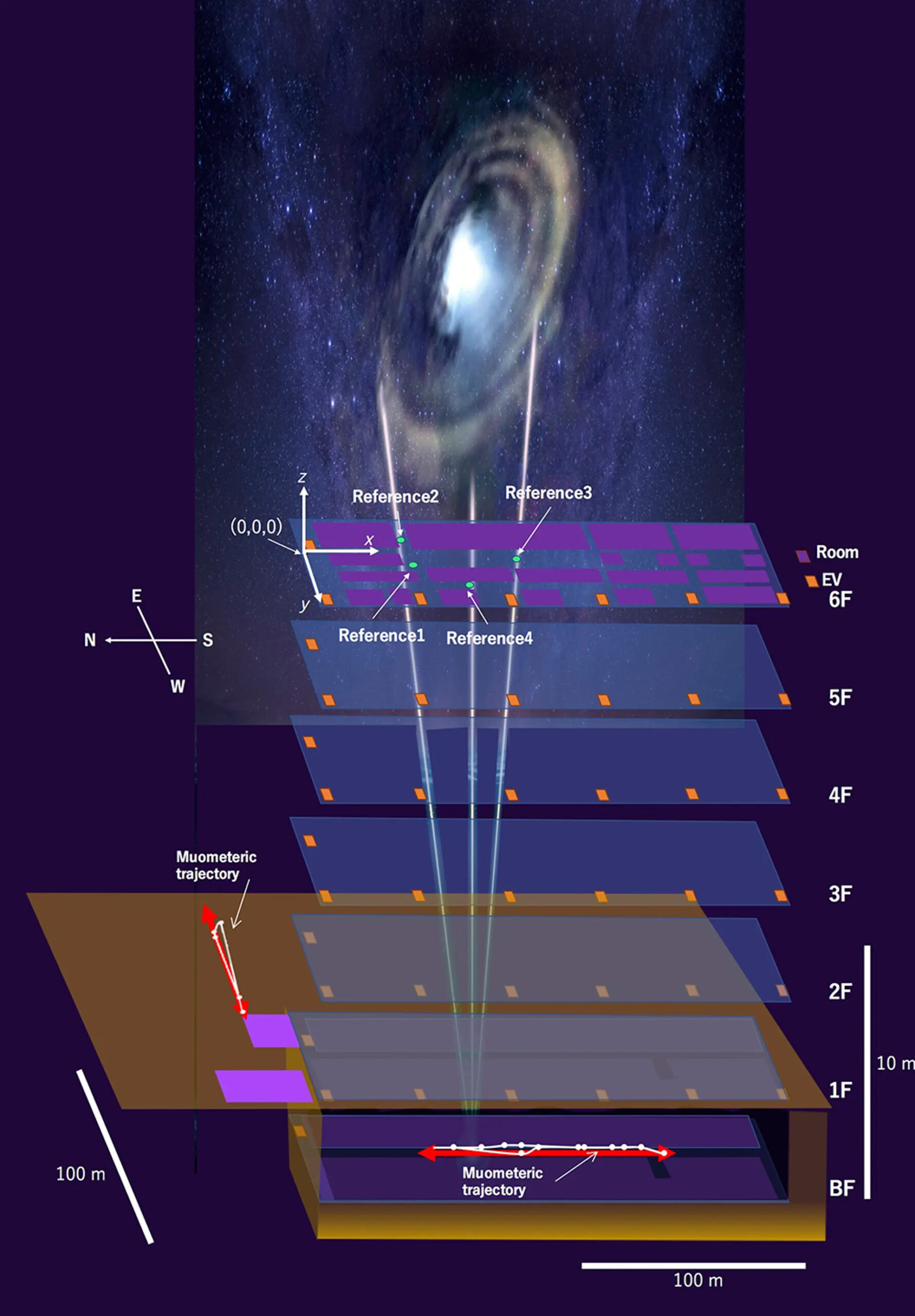
While this is pretty accurate for day-to-day use, GPS signals bounce off rocks, water, and surfaces like walls, meaning the system loses precision underground, underwater, inside buildings or even just in densely built-up areas. So researchers at the University of Tokyo have developed a new technology they call the muometric wireless navigation system (MuWNS), which is designed to be more accurate in those situations.
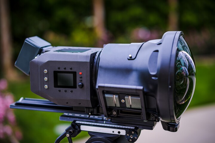
The key to MuWNS is that the “signals” it’s tracking can pass right on through solid materials. These signals are particles known as muons, which are produced when cosmic rays enter Earth’s atmosphere and interact with particles already present, creating a cascade of secondary particles. And this rain is constant – it’s estimated that every square meter of Earth’s surface is pelted with around 10,000 muons every minute.
The team tested MuWNS deep in a multi-story building, where regular GPS would have trouble maintaining its precision. A scientist carrying a handheld muon detector was sent into the basement of a building, and the position of that detector was tracked using four reference stations on the building’s sixth floor.
Those reference stations functioned like GPS satellites – by tracking paths of muons picked up by each station and the detector, the position of the scientist could be traced with a high degree of accuracy. That said, there’s still plenty of room for improvement, the team says.
–
“The current accuracy of MuWNS is between 2 m and 25 m (6.6 and 82 ft), with a range of up to 100 m (328 ft), depending on the depth and speed of the person walking,” said Professor Hiroyuki Tanaka, lead author of the study. “This is as good as, if not better than, single-point GPS positioning aboveground in urban areas. But it is still far from a practical level. People need one-meter accuracy, and the key to this is the time synchronization.”
The researchers say this could eventually be rectified with atomic clocks that fit into portable devices, which are in development but are currently too expensive for widespread use. The other components used are already able to be miniaturized. The experiment also only tracked the researcher’s path after the fact, but future work will investigate doing so in real-time.
In recent years, muon detectors have also helped scientists peer inside solid structures like the Great Pyramid of Giza, and test a precise clock synchronization system that works underground and underwater. This latest experiment shows that one day this technology could help augment GPS in areas where it currently doesn’t work well.
The research was published in the journal iScience (PDF).
Source: University of Tokyo
–